
Natural Resources Survey
The Newfound Lake Region Association oversaw a Bristol-wide land survey back in 2018. Here are the subsequent report and related maps created by GreenFire GIS. A recommendation list follows their summary in the report.
Topics include: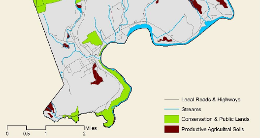
- highly-erodible soils
- unique wildlife habitat
- composite map of development constraint
- wetlands
- and MORE
Funding for this project was provided in part by a Watershed Assistance Grant from the NH Department of Environmental Services with Clean Water Act Section 319 funds from the U.S. Environmental Protection Agency.
2018 Town of Bristol “Natural Resources Survey”